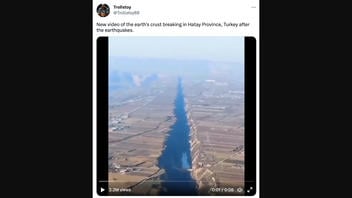
Did an aerial video capture a deep and wide chasm in the Earth's crust in southern Turkey's Hatay province, part of the area hit by earthquakes in early February 2023? No, that's not true: This video footage does not show earthquake fault lines in Turkey. It shows China's Loess Plateau, which is a drainage basin for the Yellow River.
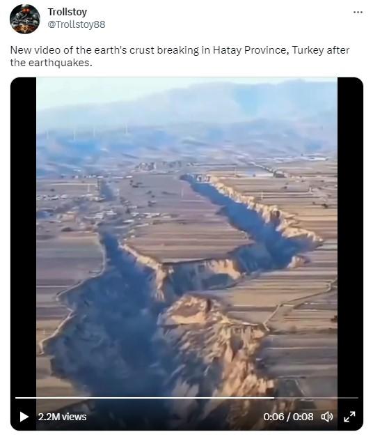
The aerial video was posted on zhihu.com on October 30, 2022 by an account called (translated from Chinese by Google) "Rose Sees The World - Aerial photography of the world, recording the beauty of China." The video's title commented and asked, "It's incredible! A gap about 10 kilometers long has been drawn on the entire plain. What kind of force divides it into two?" On February 19, 2023, the video was posted on Twitter by @Trollstoy88 with a music soundtrack. The tweet was captioned:
New video of the earth's crust breaking in Hatay Province, Turkey after the earthquakes.
This is how the post appeared on Twitter at the time of this fact check's writing:
(Source: Twitter screenshot taken on Tue Feb 21 17:10:17 2023 UTC)
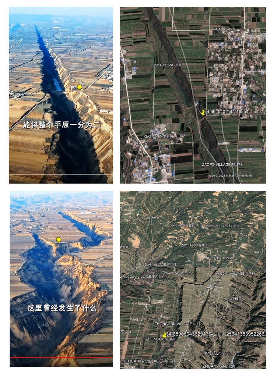
This is not a recent video and it does not show Turkey. Lead Stories geolocated the gorges shown in the video by comparing landforms to known images and footage. The video shows Pinglu County in the southern tip of China's Shanxi province, near the Yellow River. The villages shown in these two locations, Judu Village and Zhongcun Village, are approximately five and a half miles apart. The landscape of this part of the Yellow River drainage basin is a mixture of farmland, elevated hills and deeply eroded valleys.
The Lead Stories composite image below shows the 0:04 and 0:25 marks in the "Rose Sees The World" video, mislabeled in the "Trollstoy" post, alongside screenshots of Google Earth satellite images of the same locations. Yellow dots are offered as reference points aligning with the pins on the satellite imagery.
(Source: Lead Stories composite image with zhihu.com and Google Earth screenshots taken on Tue Feb 21 23:20:30 2023 UTC)
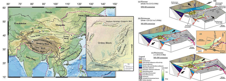
This part of the Eurasian tectonic plate is known as the Ordos Block and, while it is surrounded by fault systems, the deep chasms seen in the video are not local fault lines. The landscape in this region of China is deeply marked by erosion. This land was shaped over millions of years by the formation of basins caused by shifting, lifting and tilting plates. The flat plains which are now farmland were at one time the sediment at the bottom of a large lake.
An August 1, 2019, Journal of Asian Earth Sciences article (titled "Tectonically controlled evolution of the Yellow River drainage system in the Weihe region, North China: Constraints from sedimentation, mineralogy and geochemistry") contains a detailed diagram (pictured below right) that explains the complex evolution of the landforms in this region. Portions of the article are available on Science Direct, an online publishing platform for peer-reviewed scientific research.
The maps in the composite image below (will open larger in a new image) show the position of the Ordos Block on the Eurasian Tectonic Plate and the position of the basins and faults which surround the Ordos Block.
(Source: Lead Stories composite image of screenshots from Springernature.com, Ordos Block image by Mikenorton, and Sciencedirect.com taken on Wed Feb 22 00:36:00 2023 UTC)
Additional fact checks of claims related to the February 6, 2023, earthquake in Turkey, neighboring Syria and its aftershocks can be found here.


