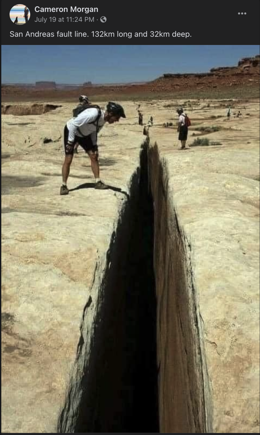
Does this photo show the San Andreas fault? And is the San Andreas Fault 132 kilometers long and 32 kilometers deep? No, none of that is true: This is a photo from a trail in Canyonlands National Park in Utah, not of the San Andreas Fault in California. Also, the San Andreas Fault is more than 800 miles long.
The claim appeared in a Facebook post (archived here) on July 19, 2021, along with the text:
San Andreas fault line. 132km long and 32km deep.
This is what the post looked like on Facebook at the time of writing:
(Source: Facebook screenshot taken on Fri Jul 23 22:45:58 2021 UTC)
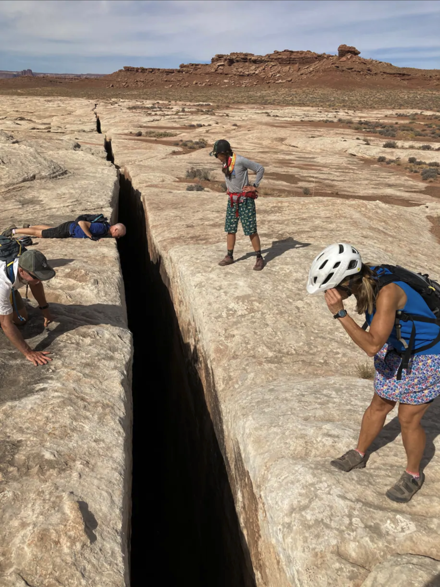
This photo was taken at "Black Crack," a 65-foot-deep fissure along a trail in Canyonlands National Park in Utah. It looks very similar to this photo posted in The Washington Post, which accompanied a piece about cycling around the National Park:
The post says it shows the San Andreas Fault, which is an earthquake fault line entirely in California. The San Andreas is not "132km long and 32km deep" (about 82 miles long and 20 miles deep) as the post reads. The U.S. Geological Survey says the San Andreas is more than 800 miles long (more than 1,287 kilometers) and extends to depths of at least 10 miles (16 kilometers) within the Earth.
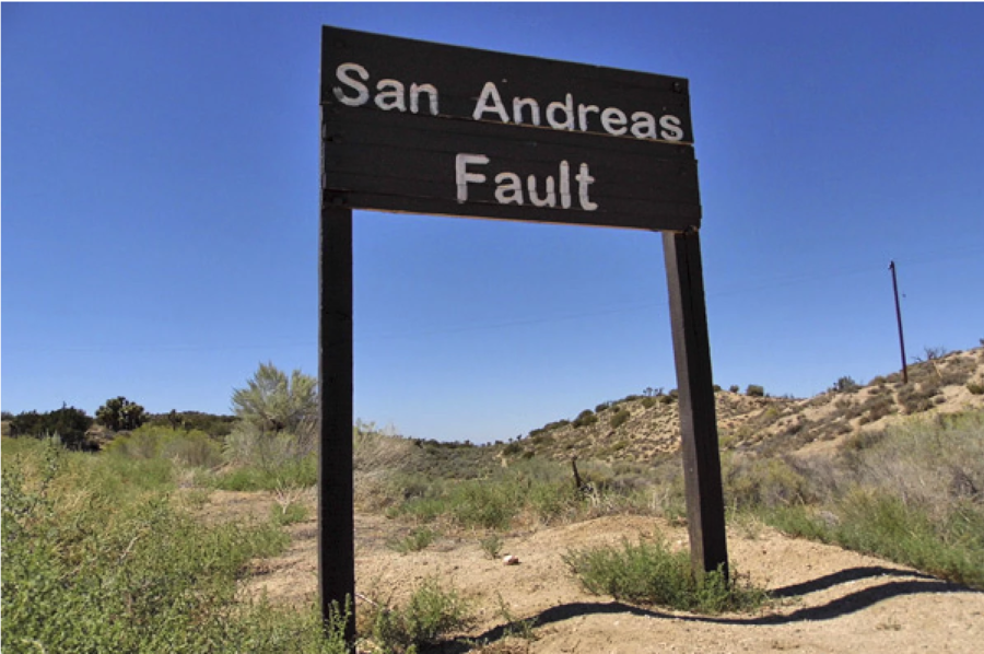
Despite how the fault looks from the air, it's generally less impressive close up. Sandi Hemmerlein with KCET wrote that "its signs may be as subtle as a dip in the road, a bend in railroad tracks, or a change in direction in a creek or a stream." Her photo below demonstrates:

