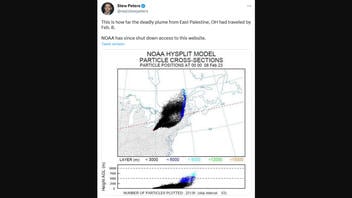
Did the National Oceanic and Atmospheric Administration shut down access to a website that showed a real map of "how far the deadly plume from East Palestine, OH had traveled by Feb. 8," as podcast host Stew Peters claimed? No, that's not true: As of February 17, 2023, the National Oceanic and Atmospheric Administration (NOAA) Hysplit Model website, which displays simulations, was not shut down. And Peters' post shows only one simulation of many possible computer predictions of the way gas could spread from the site of the February 3, 2023 train derailment. It's a model, not a map based on actual field measurements.
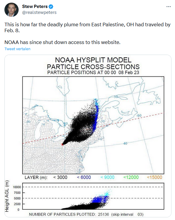
The claim appeared in a post on Twitter on February 16, 2023 (archived here), that opened:
This is how far the deadly plume from East Palestine, OH had traveled by Feb. 8. NOAA has since shut down access to this website.
This is what the post looked like on Twitter at the time of the writing of this fact check:
(Source: Twitter screenshot taken on Fri Feb 17 22:26:43 2023 UTC)
The NOAA website, part of the Department of Commerce, offers a tool that allows users to simulate "dispersion and trajectory of substances." A simulation is not the same as actual mapping of air samples. It's a computer model. Depending on variables entered into the simulator by the user, it can map different shapes, concentrations and locations of windblown particles. As of February 17, 2023, it was not shut down.
Text on the website explains:
HYSPLIT models simulate the dispersion and trajectory of substances transported and dispersed through our atmosphere, over local to global scales.
HYSPLIT is a complete system for computing simple air parcel trajectories, as well as complex transport, dispersion, chemical transformation, and deposition simulations.
A train with cars containing toxic chemicals derailed in East Palestine, Ohio, on February 3, 2023. Officials performed a controlled release to avoid an explosion of those chemicals on February 6, 2023. This created a black plume of smoke that was visible in news reports from the scene.
Peters wrote in his tweet that his screenshot of the HYSPLIT site showed how far the toxic gas plume would have traveled by February 8, 2023, two days after the controlled release. He does not show in the image or describe in the text what categories and limits he used to create the picture from the NOAA website. Those controls, in the hands of each user, change the picture. If they do not precisely match actual atmospheric conditions, nature of the leak, time of the leak and other conditions, the odds are low the simulator would correctly show where gases blow.
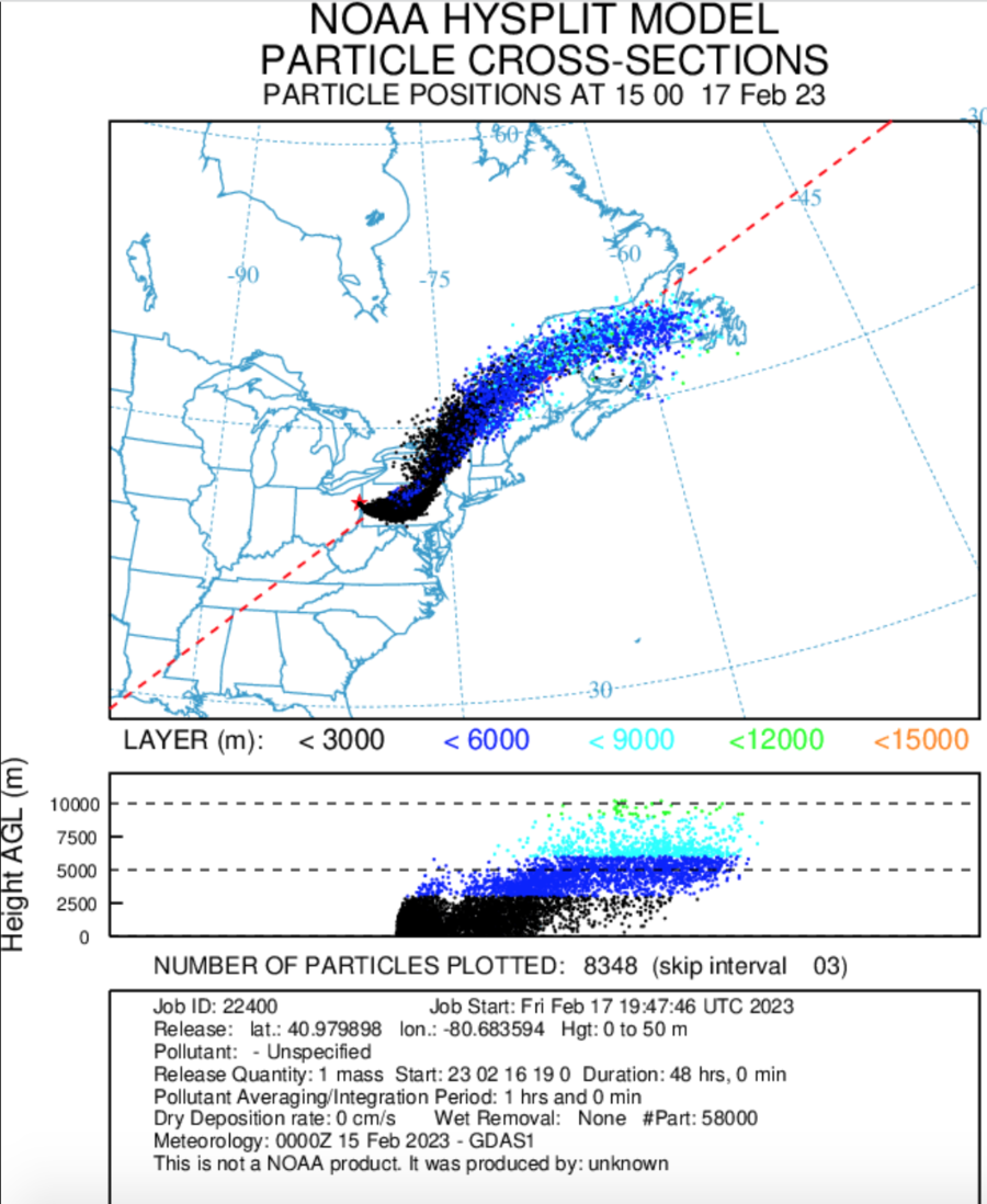
In the "READY HYSPLIT Model Results" section of the website, Lead Stories used "22400 Archived Dispersion Run Results" to create a .gif that returned results that appear to replicate Peters' graphic, except for February 17, 2023, as this screenshot shows:
(Source: NOAA website screenshot taken on Fri Feb 17 22:35:29 2023 UTC)
This created a simulation of the trajectory of the substances similar to Peters'. The forecast by the model is not an absolute verification of the trajectory of the actual gas plume.
Other Lead Stories fact checks related to the East Palestine, Ohio, accident can be found here.


